Getting Here
Journey on. If it was easy to get here, it wouldn’t be Big Creek. An epic adventure from the get-go, the middle of nowhere is a pretty fitting way to put it. Luckily, when you finally arrive, you can truly find yourself here.
Journey on. If it was easy to get here, it wouldn’t be Big Creek. An epic adventure from the get-go, the middle of nowhere is a pretty fitting way to put it. Luckily, when you finally arrive, you can truly find yourself here.
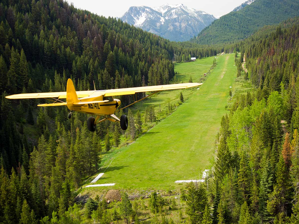
It’s the only way to fly. A 15 minute flight from McCall and a 50 minute flight from Boise, Big Creek has been a beloved destination for backcountry pilots for nearly a century. The landing strip is 3,500 feet long, which is long by backcountry standards, but at 5,743 feet in elevation and surrounded by terrain, it does present challenges. The Idaho Division of Aeronautics offers a detailed pilot’s guide on flying into Big Creek. We highly recommend training if you are unfamiliar with backcountry flying. Our friends at Idaho Aviation Association have a list of flight instructors.
Not a pilot, but want to fly in? To arrange a private flight here, contact one of our charter partners: McCall Aviation & Salmon Air out of McCall. Arnold Aviation out of Cascade. SP Aircraft out of Boise. Or Middle Fork Aviation out of Salmon and Challis.
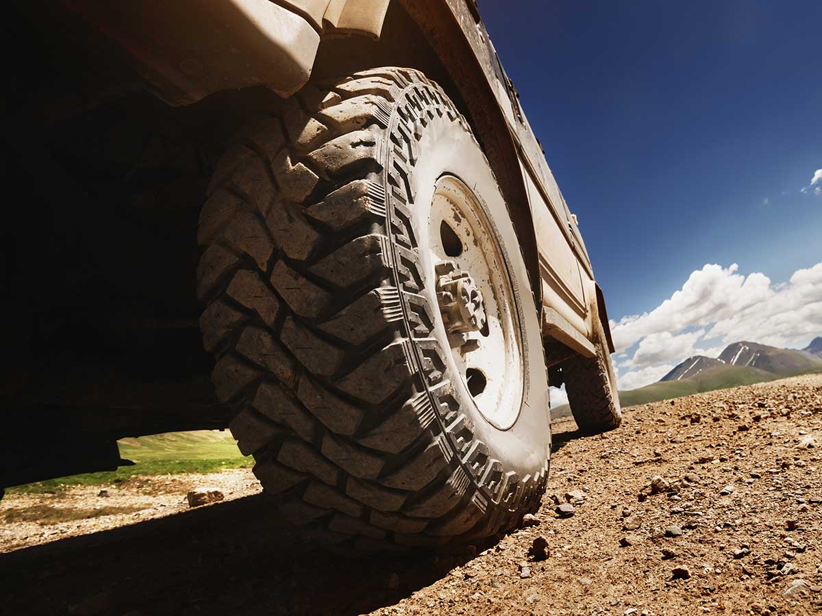
Road trip! A 3-hour drive from McCall and a 5-hour drive from Boise, the main mountain road comes over Profile Summit south of the Lodge, with tight switchbacks along the way. The road from Yellow Pine to Big Creek is not pasable due to snow pack until late June or even early July. The Yellow Pine Times often has the most current information on road conditions.. Here’s how to get here by land.
OPTION 2. Depart McCall on E. Lake St to Lick Cr. Rd.
(Lake St turns R and becomes 3rd St, Merge into Lenore, Turn L on Davis Ave)
Turn R on Lick Cr Rd for ~33 mi.
Turn R onto East Fork Rd for ~16 mi.
At Yellow Pine, Follow Signs to Stibnite on Stibnite Rd (NF412) for ~5 mi.
Turn L onto Big Creek Rd for ~20 mi.
Arrive Big Creek Lodge ~3-3.5 hours.
Let’s fly away. From a McCall breakfast flight to other unforgettable airborne experiences.
Check out our special offers »
Click on the image to see an enlarged version.
Looking North
The IAF and the IAA also maintain more webcams at airstrips statewide. See all the wonders of Idaho in real time. Check out the IAF